


Aktuelle Lieferzeiten
Wie lange ist die Lieferzeit?
Bei Art Heroes gibt es keine Massenproduktion oder ein Warenlager – jedes Kunstwerk wird individuell für dich angefertigt. Dein Werk wird mit Leidenschaft von echten Fachleuten produziert und ist im Durchschnitt nach 7-9 Werktagen versandbereit. Hinzu kommen dann noch 2-3 Werktage für die Lieferung. Nach deiner Bestellung erhältst du Informationen zum genauen Liefertermin.
Möchtest du deine Bestellung zu einem bestimmten Zeitpunkt verschenken? Dann erstellen wir gerne einen Geschenkgutschein mit dem Bild deines bestellten Werks – so stehst du nicht mit leeren Händen da! Möchtest du das nutzen? Schreib uns eine E-Mail!
Wie wird mein Kunstwerk versendet?
Wir versenden mit Packs, UPS, GO! oder DPD; große oder besonders empfindliche Werke bringt ein spezialisierter Kurier.
Leinwände, Aluminium-, Acrylglas- und gerahmte Werke polstern wir mit Luftpolsterfolie und Karton, Poster und Tapeten reisen in stabilen Röhren.
Der Kurier holt dein Paket ab, lagert es über Nacht im Depot und liefert es am Folgetag bei dir zu Hause oder im Büro. Bist du nicht da, erhältst du eine Benachrichtigung und kannst einen neuen Termin wählen.
Sollte trotz aller Sorgfalt etwas beschädigt ankommen, fotografiere bitte Paket, Schaden und Versandetikett und schick uns die Bilder – wir kümmern uns sofort um eine Lösung.
Ich möchte meine Bestellung eher erhalten. Ist das möglich?
Wir werden gerne sehen, was wir für dich tun können. Bitte fülle dieses Formular aus und wir werden uns so schnell wie möglich bei dir melden!
Hast du noch eine Frage? Unser Kundenservice ist gern für dich da!
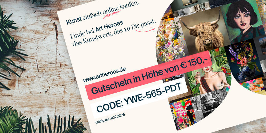
Ist es ein Geschenk?
Schenke doch einen Gutschein! Wähle einfach den Betrag aus und wir schicken dir eine liebevoll gestaltete Geschenkkarte zu.